What if all your systems were connected, with your physical and digital infrastructure working as one — giving you more clarity, efficiency, and profit? That’s what GISGRO delivers: the single, most comprehensive visual collaboration platform made by port people, for port people.
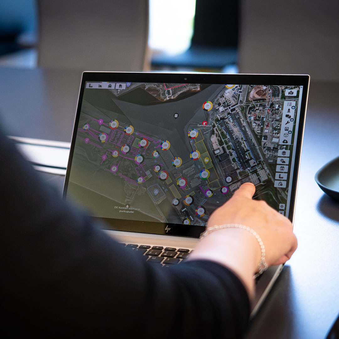
Ports are evolving fast. But that doesn’t mean your day-to-day life has to get more complicated. GISGRO is the single, most comprehensive visual collaboration platform bringing GIS and PMIS together to help you adapt with confidence turning complex data into a clear, real-time view you can actually use.
We designed GISGRO for the people who keep ports running. Whether you’re in port management, operations, engineering, asset management, or sales, this is the tool that helps you do your job better.
Here’s what you get:
One tool, endless clarity
GIS and PMIS combined in one platform that automates the data flow from tasks to invoicing, KPIs, and reporting across the whole port.
Easy to use
No GIS expertise required and no clunky dashboards. Built for ports by port people, shaped by real-world workflows rather than just tech specs.
Flexible from day one
Modular, cloud-based, and built to scale with you. Always improving with your feedback and the future of port operations.
How Port of Oulu transformed their daily operations with GISGRO
GISGRO in numbers.
50+
Ports
10+
Countries
2000+
Users
Our clients
❞
“I have the pleasure of using GISGRO in our daily operations. The software has proven to be a very useful tool, transforming the way we manage and visualise our data. What sets GISGRO apart, is their excellent customer support. I highly recommend GISGRO to any organisation looking for a reliable and efficient way to manage their spatial data.”
Andy McDowell Deputy Harbour Master Port of Tyne
How to get started with GISGRO
Getting started with GISGRO is simple, and you’ll never be left guessing. We guide you through each step, so you can see real results, fast.
1.
Start with a conversation
Let’s talk about your port. We’ll show you how GISGRO works, answer your questions, and help you see what’s possible. All based on your real challenges and goals.
2.
Try GISGRO with your own data
We’ll set up a free trial tailored to your port, using your own data. That way, you can explore the platform in a way that’s relevant, useful, and easy to evaluate.
3.
Pick your modules and launch with support
You choose the features that matter. We’ll handle onboarding and training, so your team feels confident from day one, and gets real value, fast.
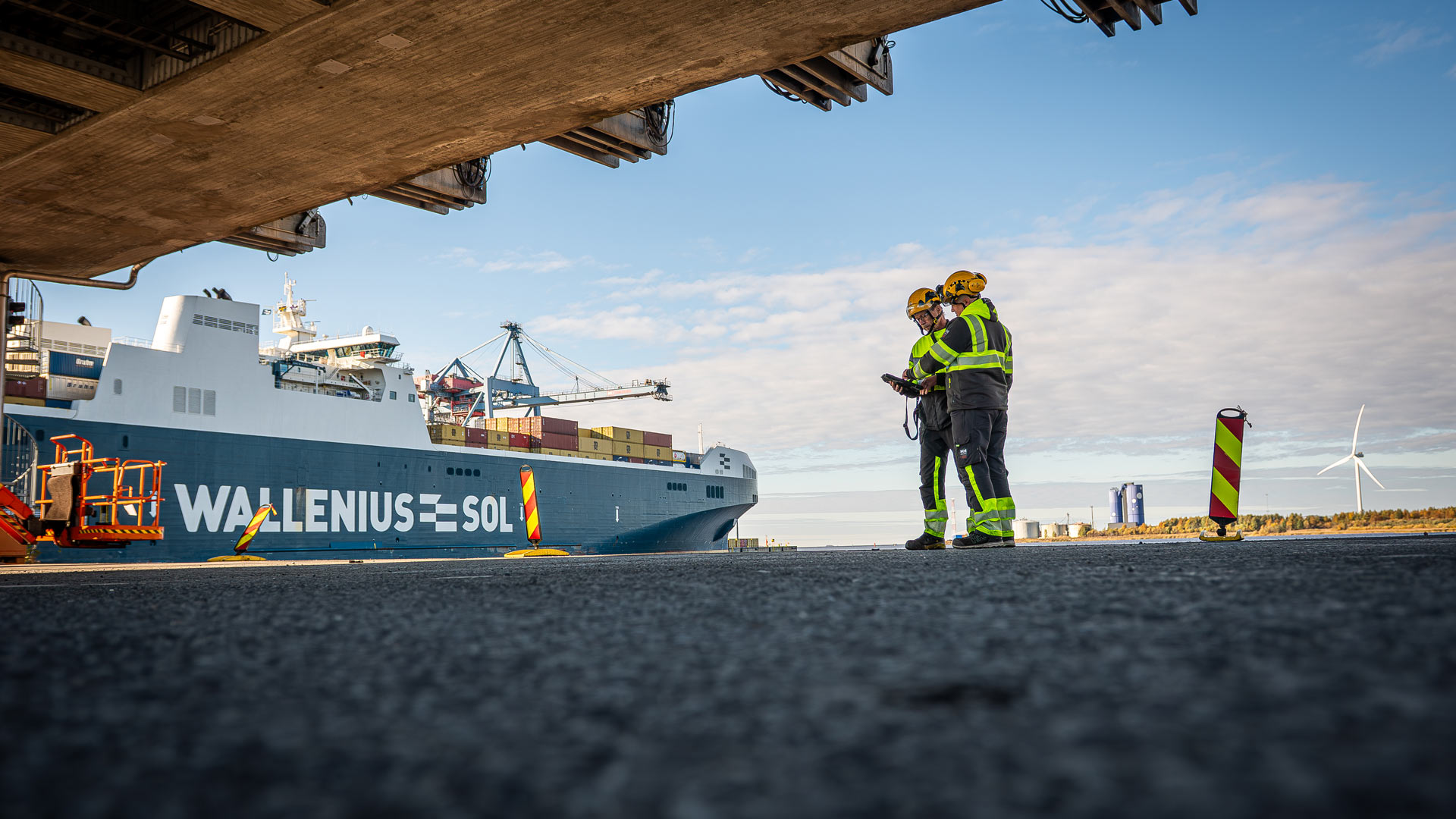
Every job at the port comes with its own pressure. Whether you’re overseeing maintenance, planning long-term infrastructure, managing port calls, or tracking emissions, your tools should make life easier, not harder.
GISGRO helps each department see what’s going on, stay aligned, and make faster, better decisions. Clear insights. Shared context. One system everyone actually wants to use.
Every port is different. That’s why GISGRO is modular. You can start with your digital twin and add exactly what you need, when you need it.
Whether you’re focused on port calls, maintenance, emissions, or estate planning, our modules help you turn complexity into clarity, without switching systems or adding new logins.
Running a smarter port isn’t just about software, it’s about seeing what’s possible. Our Port Insights hub brings you stories from the field, views from industry experts, and practical ideas to help you take control of your port operations.
Explore how others are tackling common challenges, what’s shaping the future of port management, and how GISGRO fits into it all.
Book a 30-minute walkthrough with one of our experts. We’ll show you how GISGRO works with your port’s real challenges, answer your questions, and help you take the first step toward a smarter way of working.
Whether you’re curious about how GISGRO could work for your port or you’re ready to take the next step, we’d love to hear from you. Our team is friendly, experienced, and happy to help.
Just fill out the form and we’ll get back to you soon.